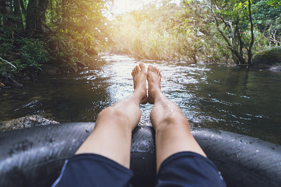
Yep, You Could Float The River Down To New Orleans
Somehow, I came across a story from 2006 where a couple of Tulsa guys decided to take a trip to New Orleans. While there are several ways to get there, they opted for a fifteen foot canoe with a very small outboard on the back of it. They took off from the biggest inland sea port in America located on the East side of Tulsa at Catoosa, and made it on time to New Orleans ten days later.

It had me thinking "If all rivers run to the Mother Mississippi, couldn't you do this on the Red River too?" Shockingly, yes... and it would probably be a much more enjoyable journey altogether, I'll explain.
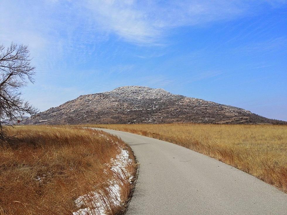
I don't have an expectation for you to know all of this, but the Red River to our South here in Lawton is a pretty famous body of running water. Not only was it once the official international border the USA shared with Mexico, it literally springs out of nowhere out in the Texas Panhandle. As water runs off the high plains and caprock of New Mexico and Texas, the Red River springs to life in the canyons South of Amarillo. It then runs along the every-changing Oklahoma/Texas border, through Arkansas and down to Louisiana's swamp lands.

Yes, there are dams and lakes along the way, but things are exactly the same along the Arkansas River system. You just hop on the bank and go around those obstacles like the two Tulsa guys did. But instead of seeing federal "Shoot On Site" warning signs around nuclear power plants, you'll see vista views and river villages along the Red River. That's what would make that journey so much more enjoyable.
About 150 miles from New Orleans, the Red River comes to a fork. You can either traverse upstream a few miles to join the Mighty Mississippi and float into NOLA through Baton Rouge which would take you directly into the Northwest side of New Orleans... or you can stay the course and merge into the Atchafalaya River Basin and make your way through the most famous piece of swampland in the world. Literally, the only thing between Lafayette and Baton Rouge is the Atchafalaya swamp.
While I'll admit, it would be almost terrifying to camp a single night in the swamp, there are a thousand little communities along the way that would welcome you like family and point you in the direction of a safe park to camp in after feeding you whatever delicious concoction they had on the stove that day. Either way you decided to row your boat would be pretty epic, but you have to admit the challenge of migrating America's great swamp calls to a certain caliber of person. Spend a few days in NOLA and fly back to home sweet SWOK with a great story and probably your own fifteen minutes of fame.
LOOK: Stunning vintage photos capture the beauty of America's national parks
Gallery Credit: Alexander Raeburn
More From KZCD-FM