Oklahoma Advised to Prepare for Flooding on Thursday
Forecasting the weather is a tough job. Meteorologists have to literally predict the future.
If you have paid attention to the forecasts over the last two weeks--widespread pouring rains and isolated severe storms--and seen only mostly clear skies and warm temps, we often accuse some of the more energetic weather pros of constantly crying wolf.
While that is completely fair in more than a few cases, while we haven't received our locally forecasted weather in Lawton-Fort Sill over the last week, you can't deny the forecast from the National Weather Service was accurate for other places around SWOK. Heavy storms, incredible rainfall, tornadoes, etc.
Now the National Weather Service is issuing an advisory for the potential of flash flooding on Thursday, May 18, 2023.
Heavy rainfall is forecast on Thursday night and into Friday morning, which will lead to a risk of flash flooding. The greatest flash flood threat extends across northern and parts of central Oklahoma.
Looking at the graphic, it doesn't exactly rouse a feeling of impending doom as it did during the record widespread Oklahoma flooding of 2015, but heavy rainfall across most of Western OK will be more dangerous now than ever due to the drought.
You see, rain doesn't soak into dry, drought-stricken dirt. It runs straight off because the surface practically repels water when it's so dry.
Since Spring storms in Oklahoma are usually rather compact in size but very severe in intensity, flooding is the nature of heavy rainfall for this side of the state.
The most current drought monitor aligns perfectly with the forecast from the National Weather Service.
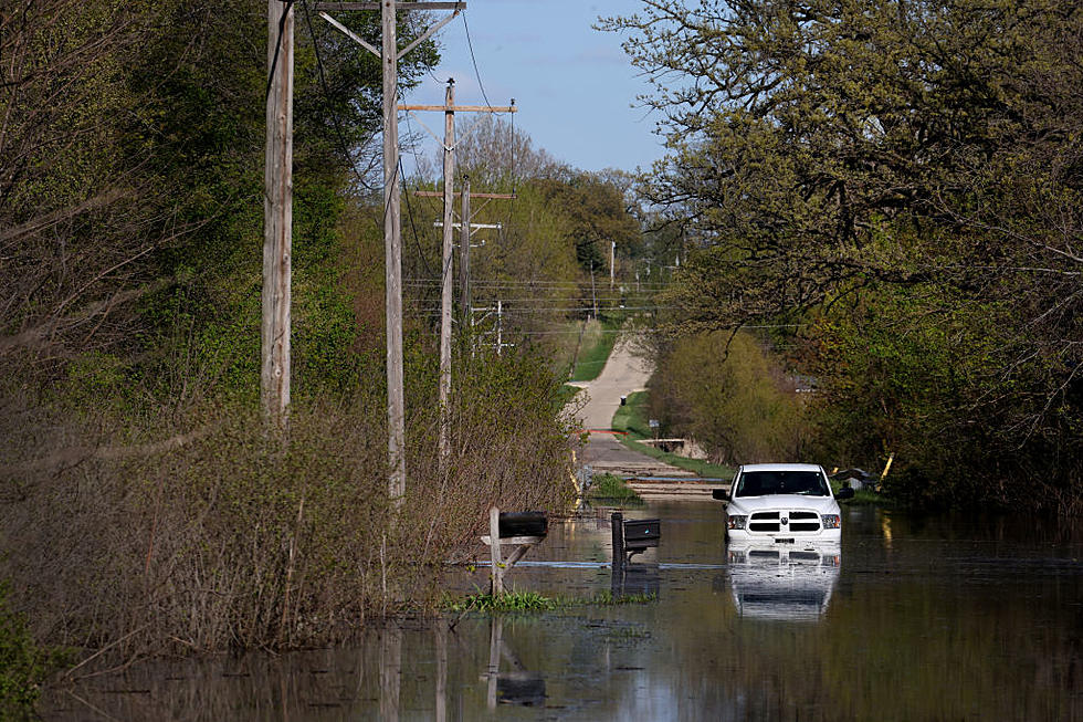
Even though you've probably heard it a million times over the years, it's worth repeating since people tend to fill with confidence in the face of flooded roadways... Don't drive through high water, even if it's in the middle of town. Plenty of Lawton drivers can attest to that result.
The Very Best Out-of-Context David Payne Quotes
Gallery Credit: Kelso
Oklahoma's Top 11 Worst Natural & Manmade Disasters
Gallery Credit: Kelso
The Ten Most Tornado-Prone Counties in America
Gallery Credit: Kelso
Things You'll Need in Your Oklahoma Tornado Prep Kit
Gallery Credit: Kelso
More From KZCD-FM


