Southwest Oklahoma Braces For More Snow This Week
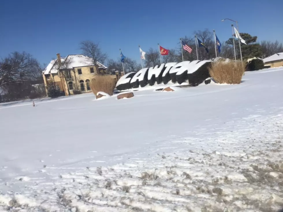
It's been one year since 2021's historic winter storm brought Southwest Oklahoma to a practical standstill... A little bit of ice, gale-force winds, and more-or-less a foot of snow across the region. Worse, electric and natural gas providers urged cold homes in an attempt to save money and keep from shutting off heat to everyone. It was a crazy two weeks of arctic weather.
Amazingly, we've been rather warm and windy this year. That's not to say we don't have sub-freezing nights and the occasional winter squall... but nothing like we experienced a year ago.
Over the next few days, Southwest Oklahoma will see fire-weather warnings of high winds and warm temps. Another cold front will produce an early-spring-like severe weather system across much of the state, already receiving warnings of hail, and on the back half of that front, more snow... but it should be the "ideal" type of snow for SWOK.
If you ask enough people, the general consensus of "How much snow would you like to see?" is usually "Enough to make everything white for a day, then quickly melted off."
It's logical. Whether you like snow or not, I think everyone can universally appreciate the beauty of fresh snow... it's the lingering slush and ice that we all hate. We have a hard enough time trying to drive at least the speed limit on Cache Road, now mix in slick conditions... It's never pretty.
Thursday morning we're expecting a flush of snow. As it is forecasted well below freezing, it's safe to assume it will probably stick long enough to give us one last look at winter before the temperature returns to normal. The snow should be here and gone in a day according to the National Weather Service in Norman.
The Frozen Wichita Mountains
Basic Driving Tips For Snow & Ice
The Wonders of Palo Duro Canyon in the Texas Panhandle
More From KZCD-FM


